Skip to content
Flickr
Instagram
Amazon
YouTube
LinkedIn
Search
M.A. Kleen
About
Announcements
Appearances
Press
Musings
Commentary
Reviews
Saudade
Explore
Historic America
Mysterious America
Arizona
Canada
Delaware
Florida
Illinois
Louisiana
Massachusetts
New York
Ohio
Virginia
Roadside America
Fiction
Photography
ghost town
June 19, 2026
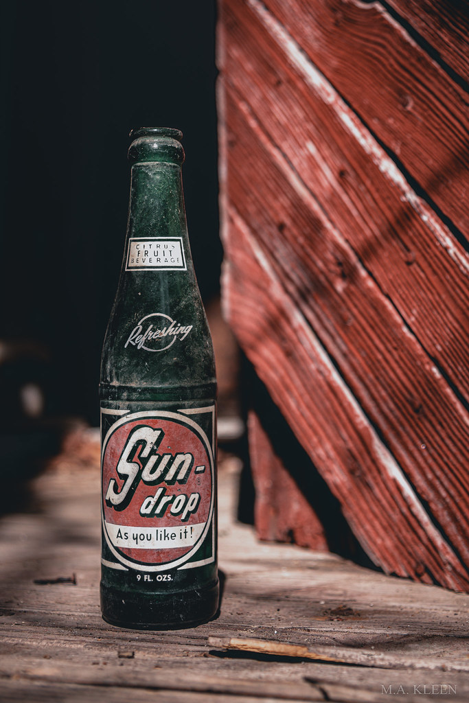
Sun-drop – As You Like It
Michael Kleen
October 14, 2024
Prince William Forest Park: History, Hauntings, and Hiking Trails
Michael Kleen
August 30, 2024
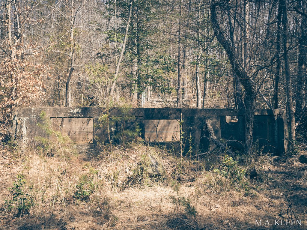
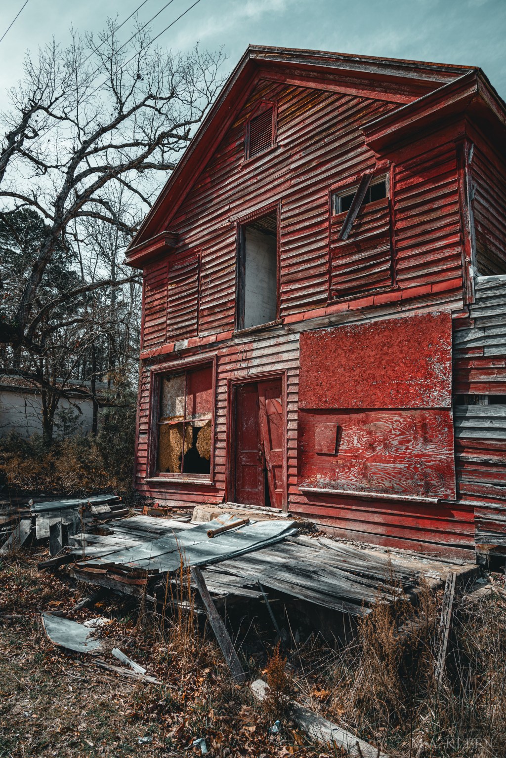
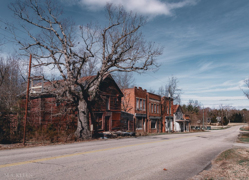
Discovering Union Level: Uncovering the Ghost Town’s Past
Michael Kleen
August 5, 2024
Union Level Ghost Town
Michael Kleen
November 23, 2021
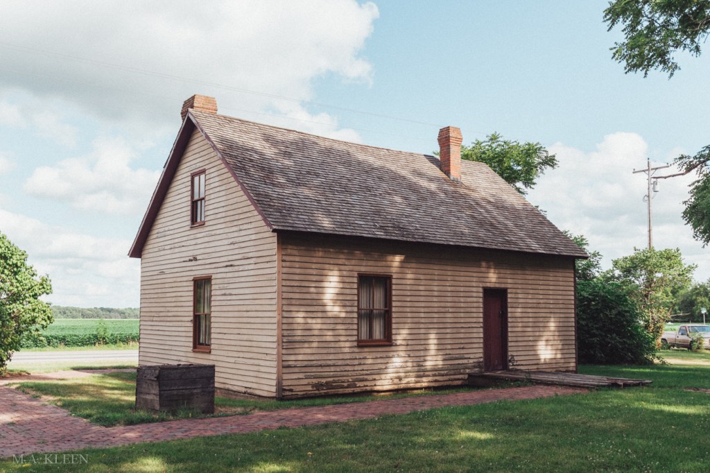
Coles County Ghost Towns: Hitesville, Farmington, and Curtisville
Michael Kleen
September 28, 2021
Coles County Ghost Towns: Bachelorsville, Dog Town, and String Town
Michael Kleen
September 3, 2021
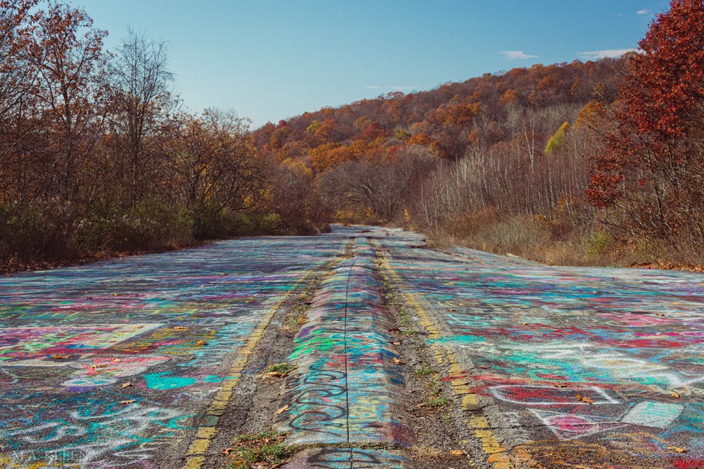
Graffiti Highway
Michael Kleen
1
2
3
Next Page
Archives
Updates
.
Musings
.
Photography
.
History
.
Mystery
.
Fiction
.
Gaming
.
Saudade
.
Privacy & Cookies: This site uses cookies. By continuing to use this website, you agree to their use.
To find out more, including how to control cookies, see here:
Cookie Policy
Subscribe
Subscribed
M.A. Kleen
Join 920 other subscribers
Sign me up
Already have a WordPress.com account?
Log in now.
M.A. Kleen
Subscribe
Subscribed
Sign up
Log in
Report this content
View site in Reader
Manage subscriptions
Collapse this bar